We are a forward-thinking GIS service provider, dedicated to helping organizations harness spatial technology to solve real-world problems. From precision agriculture to urban development and environmental monitoring, our solutions are tailored to your needs, ensuring accuracy, efficiency, and sustainability.
At GISRS 360, we believe geography is more than just maps it’s the foundation of smarter decisions, sustainable development, and transformative innovation.
As a leading Geospatial Technology Solutions Provider, we harness the power of GIS (Geographic Information Systems), remote sensing, and AI-driven spatial analytics to solve complex challenges across industries.
What we do
Geospatial Data Analysis
Unlock actionable insights from complex location data. We specialize in analyzing spatial data to identify patterns, relationships, and trends. Our geospatial data analysis services include:
Advanced spatial modeling and predictions.
Statistical analysis of demographic and environmental data.
Integration of geospatial and business data for strategic decision-making.
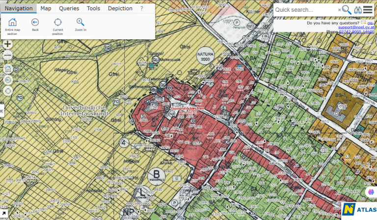
Custom Mapping Solutions
Visualize the world like never before. Create dynamic and interactive maps tailored to your specific needs. Our custom mapping solutions provide:
High-resolution visualizations of terrain, infrastructure, and resources.
Real-time data overlays for operational planning.
User-friendly interfaces for non-technical teams.
Location Intelligence Consulting
Leverage the power of cutting-edge satellite technology. Our remote sensing solutions capture detailed imagery and data from satellite and aerial sources to deliver:
Agriculture health assessments using NDVI and other indices.
Remote Sensing & Satellite Imagery
Drive smarter decisions with location-based insights. We help businesses and governments make data-driven decisions by integrating spatial analytics into their strategies:
Site selection and market analysis for retail and real estate.
Logistics and supply chain optimization.
Emergency response planning and resource allocation.